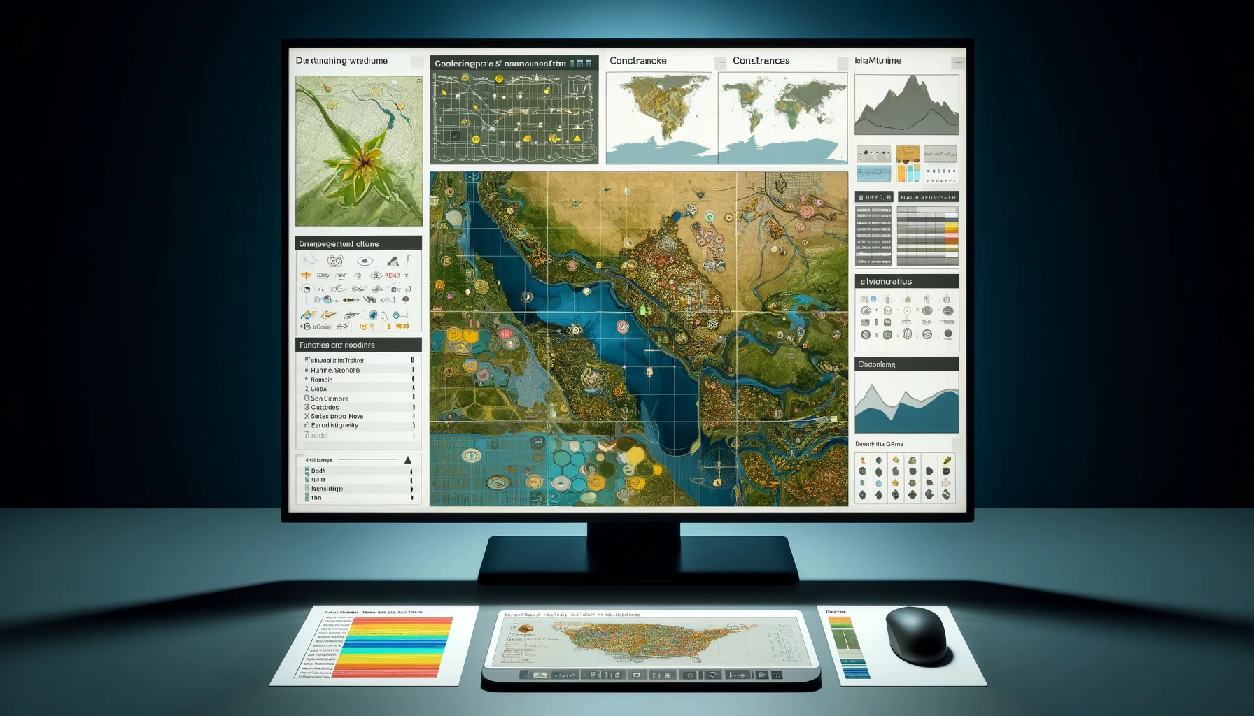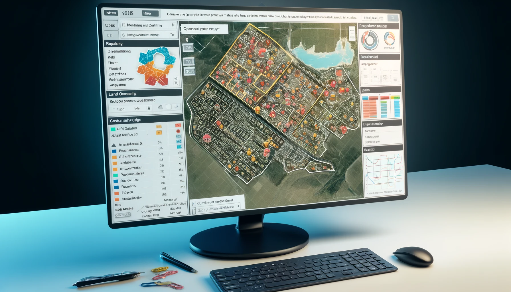
Get site data and insights for solar, wind, or transmission projects, aiding site suitability analysis for optimal development
Genesis Ray utilizes ESRI’s ArcGIS framework and GenRay EXPLORER™ platform to create Site Suitability Reports using Multi-Criteria Evaluation (MCE) methodology. This ensures accurate evaluations, offering actionable data and insights for optimal site selection across projects like renewable energy and infrastructure.
Accuracy
Information sourced from verified sources is meticulously mapped with precision to generate spatial layers
Comprehensiveness
Comprehensively mapped Energy infrastructure and geophysical datasets for South and South East Asia
API-based Consumption
Consume our data in any proprietary or compatible 3rd party GIS applications
Any Format
Get desired data in multiple formats such as XLS, KML, KMZ or SHP over Sharepoint, FTP or Custom WebGIS App
What we do
Energy Infrastructure Report
Gain comprehensive insights with our detailed site suitability report covering neighboring power generation projects, grid infrastructure, and natural gas pipelines.
Site-specific Technical Report
Get detailed insights crucial for wind or solar plant site selection covering technical, economic, and risk factors
Constraint Visualisation
Visualize unsuitable areas, identify ideal sites, and understand regulatory constraints for efficient renewable energy project development
Resource and Yield Estimation
Assess solar/wind resources, analyzing irradiance, wind speed to project generation potential for informed clean energy investments
Site Scoring
Compare sites with standardized scores to factors like land use, surface roughness, and proximity to infrastructure, enabling informed decision-making
Land Records
Access government-sourced land records mapped onto areas of interest to enhance decision-making processes
Available data layers
Renewable Projects
Wind (including turbines), Solar (including modules) and Geothermal plants with their layouts and configurations
Power Projects
Conventional power plants with their layouts and configurations
Transmission Network
Transmission Lines, Substations and Transmission Towers (220kv and above) with related details
Land use Land Cover (LULC)
Bare Areas, Cropland, Grassland, Herbaceous cover, Shrubland, natural vegetation, Tree Cover, Urban areas, Water bodies etc.
Exclusion Zones
Defense restrictions, Airspace in & around aerodromes, Protected Areas, Waterways and Urban Settlements, etc.
Geophysical
Elevation (slope), Surface roughness and Soil-bearing capacity
Natural Disasters
Floods, earthquake and cyclone
Gas & LNG
Gas blocks and Gas processing plants, LNG terminals and LNG liquefaction, Gas pipelines network, Gas pipeline facilities, city gas network, and Gas consumers & industrial parks


