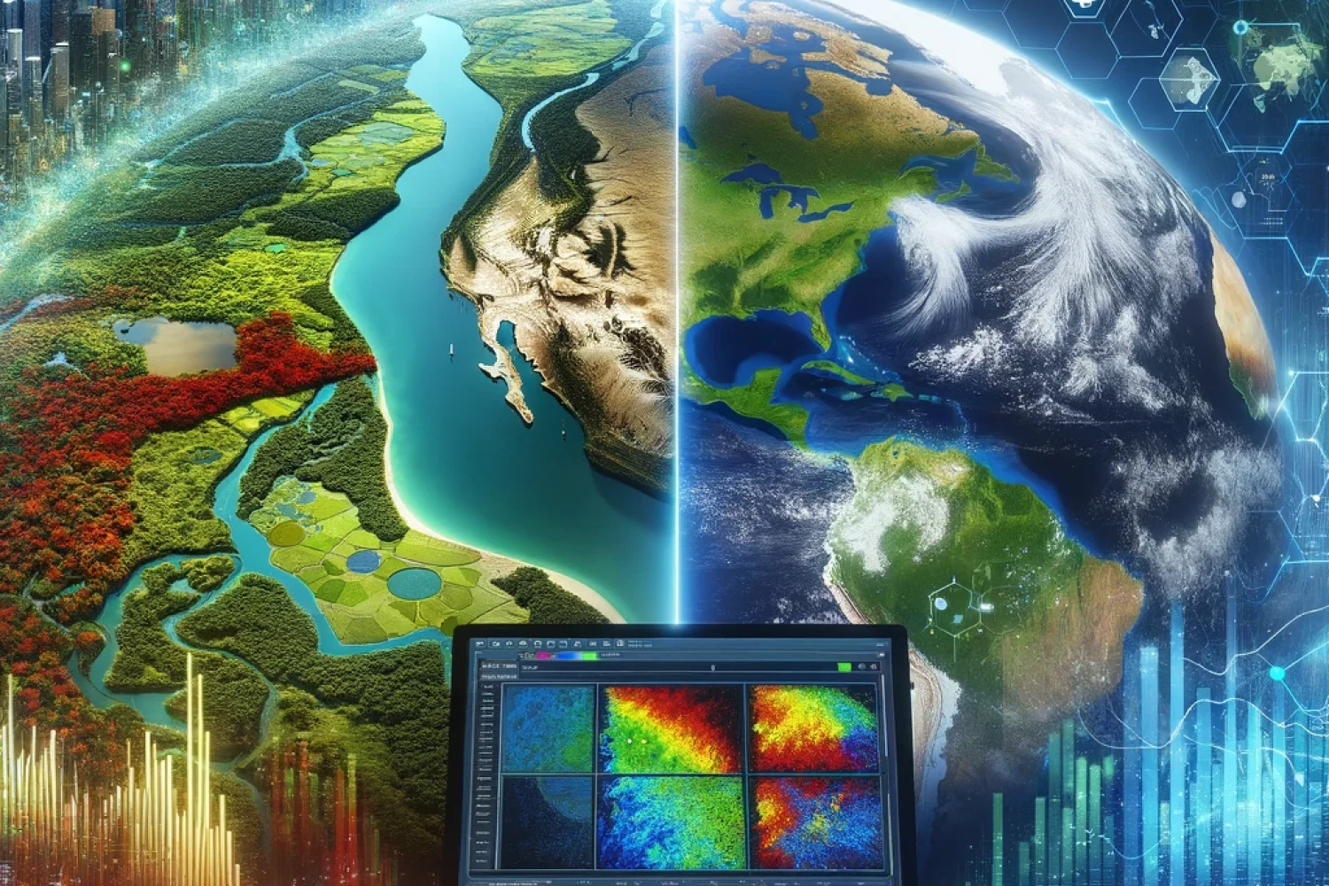
Transforming Data Into Insightful Land Management Solutions
At Genesis Ray, we specialize in providing state-of-the-art Land Use and Land Cover (LULC) modeling services, leveraging the latest in satellite imagery and machine learning technologies. Our solutions empower urban planners, environmental scientists, and policy-makers to make informed decisions, ensuring sustainable development and effective land management.
What we offer
1. Comprehensive LULC Analysis
Using high-resolution satellite imagery, we offer detailed assessments of land use and cover. Our services provide crucial information for environmental monitoring, urban planning, and resource management, helping you to understand landscape changes over time and predict future trends.
2. Custom Machine Learning Models
We develop bespoke machine learning models tailored to your specific needs. These models are trained on a variety of data sources, including multispectral and temporal satellite data, to accurately classify and monitor different land cover types with high precision.
3. Dynamic Change Detection
Track changes in land use with our dynamic change detection services. We help you identify shifts in urban expansion, deforestation, agricultural changes, and more. This service is essential for managing environmental impacts and planning proactive interventions.
4. Geospatial Data Integration
Integrate LULC data with other geospatial information systems (GIS) to enhance your analysis. Our team assists in merging LULC data with socio-economic datasets, hydrological models, and more, providing a comprehensive view that supports complex decision-making processes.
Why choose us?
Access to Tech
We have access to advanced GIS sotware and sophisticated in-house machine learning models ensuring top-notch accuracy and reliability.
Tailored Solutins
We understand that each project is unique. That’s why we offer customized solutions that specifically address your challenges and objectives.
Actionable Insights
Our reports are not just data-heavy; they translate complex imagery and models into clear, actionable insights that drive decision making.
Sustainable Practices
We are committed to promoting sustainable land use practices through advanced technology, helping to protect the environment while meeting your project goals.
