Case overview
A leading sustainability advisory firm wanted to conduct a comprehensive assessment of wasteland areas in select states of India.
The project aimed to identify and categorize various types of wastelands, providing critical data for potential land reclamation and development initiatives. This assessment was pivotal in understanding the land use patterns, identifying underutilized areas, and planning for sustainable development in these regions.


The Brief
The primary objective of the Wasteland Area Assessment was to deliver precise GIS-compatible raster files and detailed reports that comprehensively mapped and classified wasteland areas. The deliverables were intended to support the client in making informed decisions regarding land use, resource allocation, and development planning. The assessment focused on identifying land classes that could potentially be reclaimed for agriculture, forestry, or other sustainable uses.

Our Approach
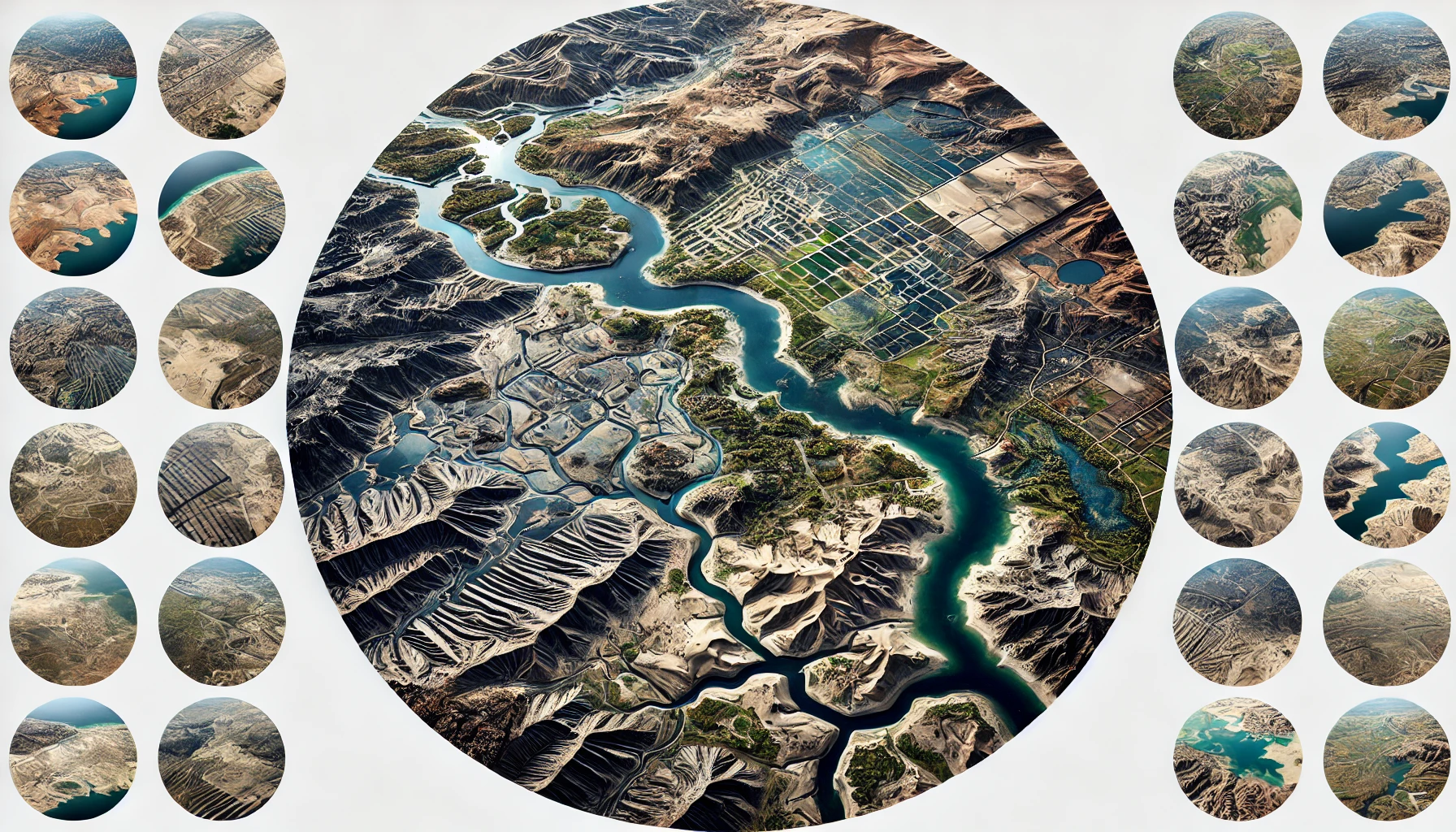
The methodology for the Wasteland Area Assessment project involved several key steps to ensure a thorough and accurate analysis. The process began with the collection and review of high-resolution Sentinel imagery at 10m resolution, covering different agricultural seasons—Rabi, Kharif, and Zaid. This step was crucial for capturing seasonal variations and providing a comprehensive view of the land conditions. The collected satellite images were then pre-processed to correct any distortions and ensure uniformity across the datasets.
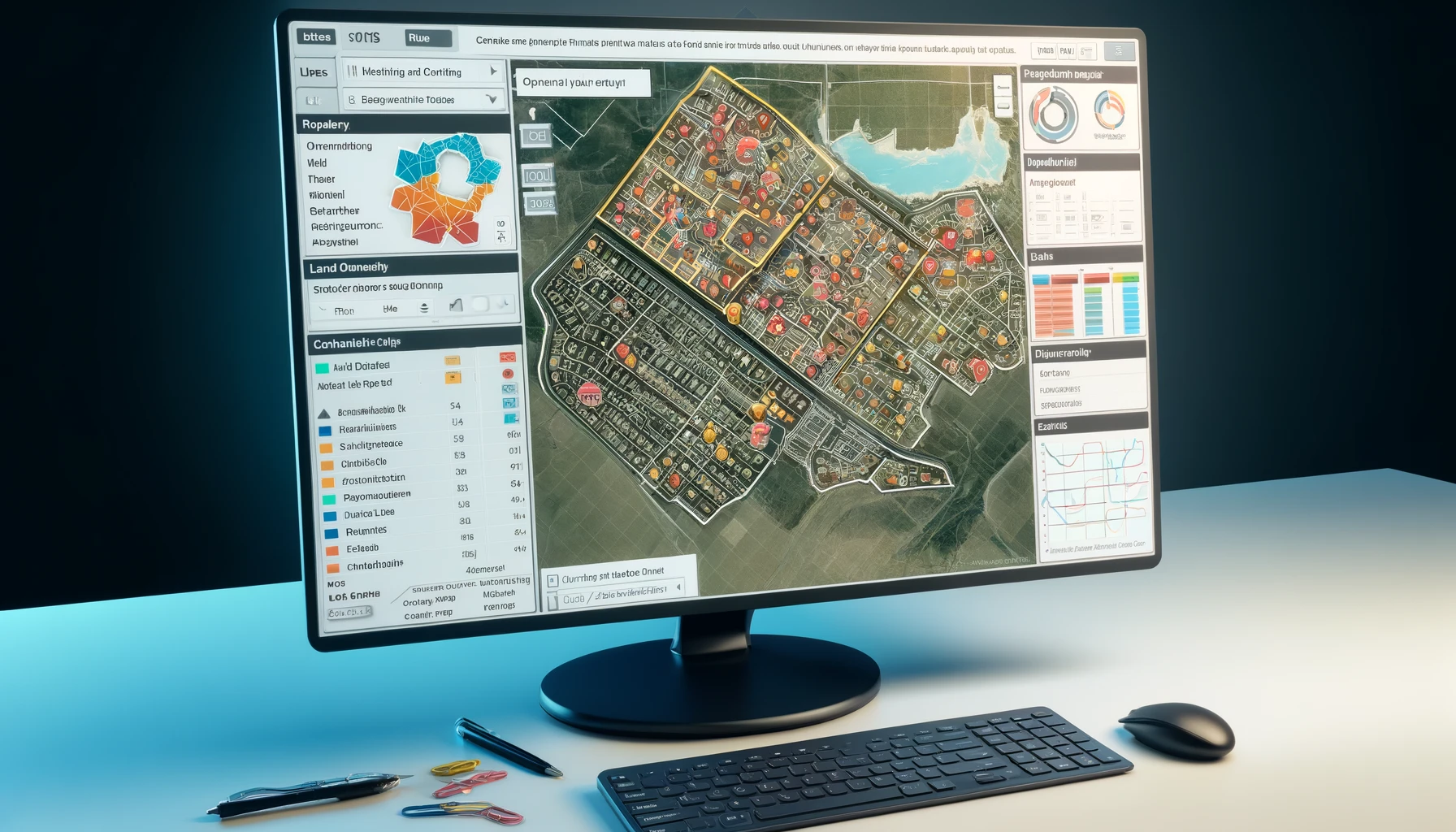
Next, a mosaic layer was generated using the Sentinel 2 L1C dataset, which comprises 13-band imagery. This process involved stitching together multiple satellite images to create a seamless and comprehensive overview of the study area. ArcGIS Enterprise Tooling, including ArcPro and the Deep Learning Toolkit, was utilized to generate the mosaic and prepare it for further analysis.
To develop the training dataset, 4-6 representative test regions within the mosaic layer were carefully selected. These regions were chosen to include various wasteland classes and were used for supervised classification. The classification process involved training the model with known samples of each class, such as gullied land, scrublands, and waterlogged areas, to accurately identify and delineate these categories.
Recognizing the importance of seasonal changes in land characteristics, distinct models were developed for each season—Rabi, Kharif, and Zaid. Ground truth data was integrated with satellite imagery to enhance the accuracy of these seasonal models. The outputs from these models were then combined into a single unified model using ensemble methods such as averaging and stacking, effectively leveraging the strengths of each individual model.
The final steps involved generating training chip sets using ArcGIS tools, which included annotated data for model training. A Pixel Classification machine learning model was trained and refined iteratively to achieve high accuracy, focusing on accurately classifying various wasteland categories. This comprehensive methodological approach ensured a detailed and reliable assessment of the wasteland areas, providing valuable insights for land use planning and sustainable development initiatives.


The Results
The outcome of the Wasteland Area Assessment project was highly successful, resulting in the identification and classification of multiple wasteland types across the targeted regions.
The assessment successfully distinguished various categories of wasteland, including gullied and ravinous lands, scrublands, waterlogged and marshy areas, and barren rocky terrains. The advanced geospatial analysis achieved an accuracy range of 85% to over 90%, depending on the quality of the available satellite imagery and the integration of ground truth data. This high level of accuracy provided a reliable dataset that can be used for informed decision-making regarding land use and development. The detailed GIS-compatible raster files and comprehensive PDF reports delivered as part of the project enable stakeholders to plan effectively for land reclamation, environmental restoration, and sustainable development initiatives. This project not only provided critical data for immediate use but also established a robust methodology that can be applied to similar assessments in other regions.


