Case overview
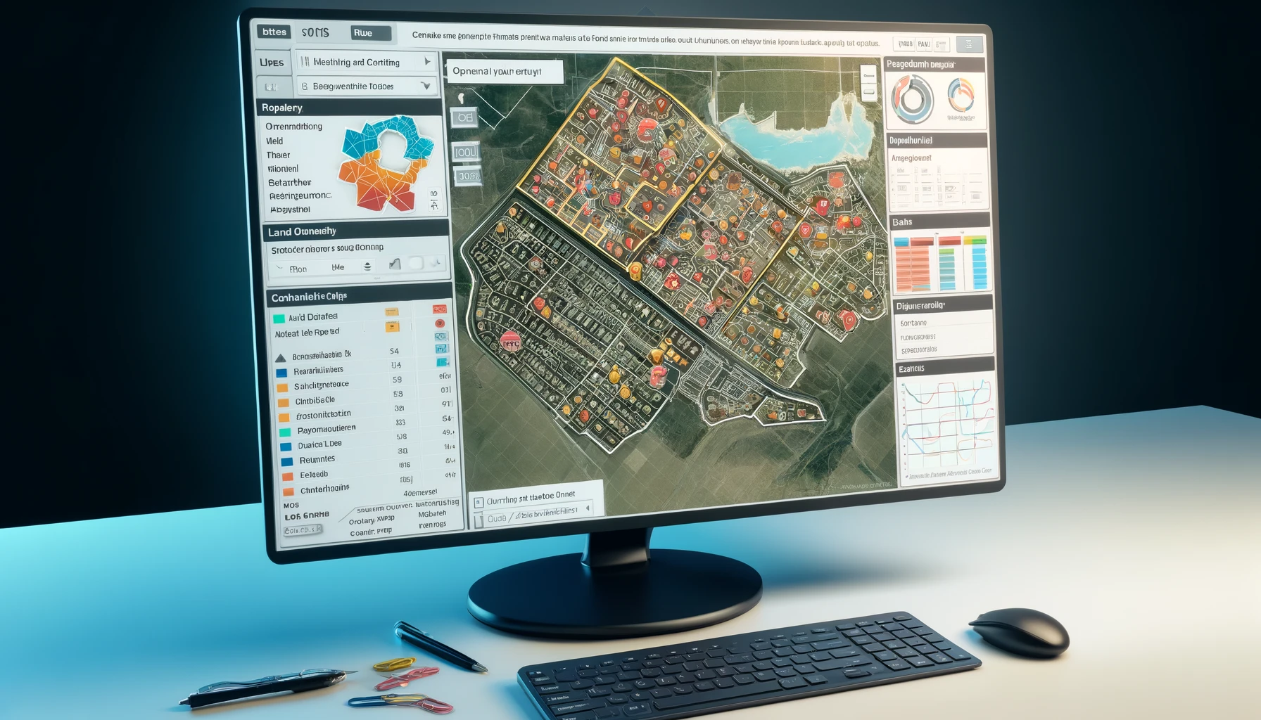
A sustainability advisory firm engaged Genesis Ray to conduct an extensive evaluation of built-up areas and detect rooftop slopes across the states of India. The primary objective of this assessment was to identify the potential for rooftop solar installations and to classify various built-up areas for the purposes of urban planning and development.


The Brief
The project aimed to deliver detailed vector data and comprehensive reports outlining building structures, rooftop classifications, and slope detection. These deliverables were crucial for assessing the feasibility of solar rooftop installations and for facilitating urban development initiatives.
Our Approach
The methodology employed in the study involved several key components. Building outlines and classifications were generated through an automated detection process using a custom Machine Learning (ML) model. This model was trained with manually defined and digitized outlines to ensure accuracy. Additionally, a Geocoding API was integrated to enhance the classification of building types, distinguishing between commercial, residential, and other categories.
For determining the type of built-up area, an automated detection process using a specialized ML model was utilized. This process leveraged 10m resolution Multispectral Sentinel imagery to distinguish between urban and rural areas. Furthermore, rooftop types and slopes were classified using a dedicated ML model that identified whether rooftops were flat or slanted. High-resolution RGB satellite imagery, ranging from 5 to 20 meters, sourced from ESRI World Imagery and Google Satellite Imagery, provided the necessary detail for this analysis.


The Results
The results of the assessment were significant. The project successfully identified and classified building rooftops with precise outlines and area calculations. It also provided a clear classification of built-up areas into urban and rural categories, aiding strategic urban planning. The detection of rooftop slopes enabled a more accurate assessment of the potential for solar rooftop installations.
Overall, the project had a substantial impact. It equipped the client with actionable data essential for urban planning, infrastructure development, and sustainable energy projects. The detailed findings facilitated informed decision-making, particularly in optimizing rooftop solar installations and promoting renewable energy adoption. Moreover, the project enhanced the understanding of land use patterns, supporting efficient resource allocation and contributing to strategic urban development efforts.


